Integrated observation of the sea
Development of an integrated observation platform for monitoring the marine-coastal system aimed at mitigating anthropogenic and natural impacts in the marine-coastal environment.
Integrated observation of the sea
Development of an integrated observation platform for monitoring the marine-coastal system aimed at mitigating anthropogenic and natural impacts in the marine-coastal environment.
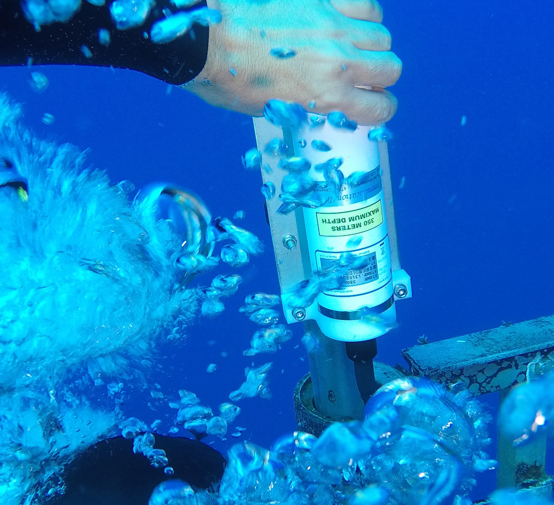
With the realization of this research objective, the project aims to develop an integrated platform of remote-sensing technologies capable of monitoring the effects of coastal contamination and marine properties.
The primary objective is to create a Remote Sensing Laboratory (centered on the IAS-CNR offices in Capo Granitola and ENEA in Lampedusa) based on the integration of various components:
- data acquisition and integration center;
- reference laboratories for the characterization, instrumental configuration and the verification of observations from space;
- development of new observational systems through the creation, characterization of new sensors and the development of new platforms;
- integration of observational techniques from land and space, implementation of new algorithms and methods for the characterization of the marine environment.
The integration, management and sharing of spatial and geospatial information have been realized, and over time implemented, with a special platform based on the suite Free / Open Source GeoNode.
Are involved in this research goal:

Are involved in this research goal: